





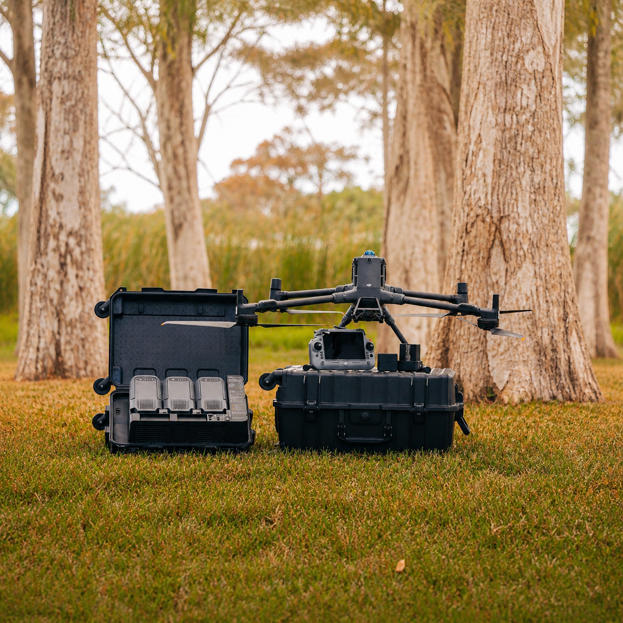
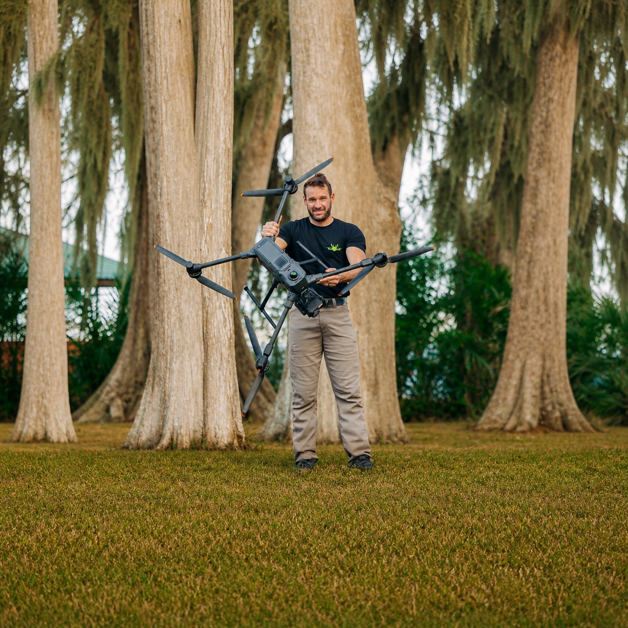
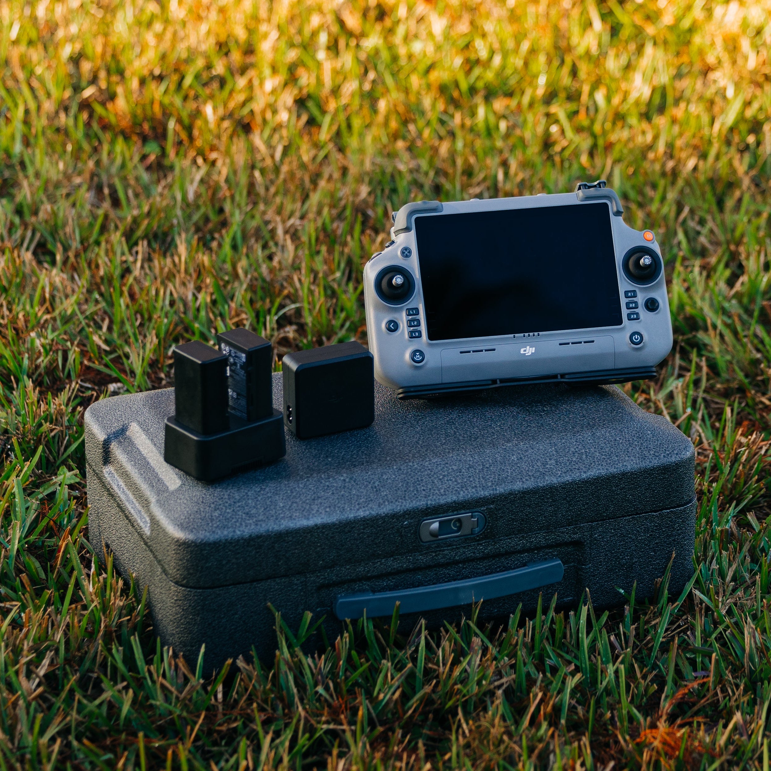
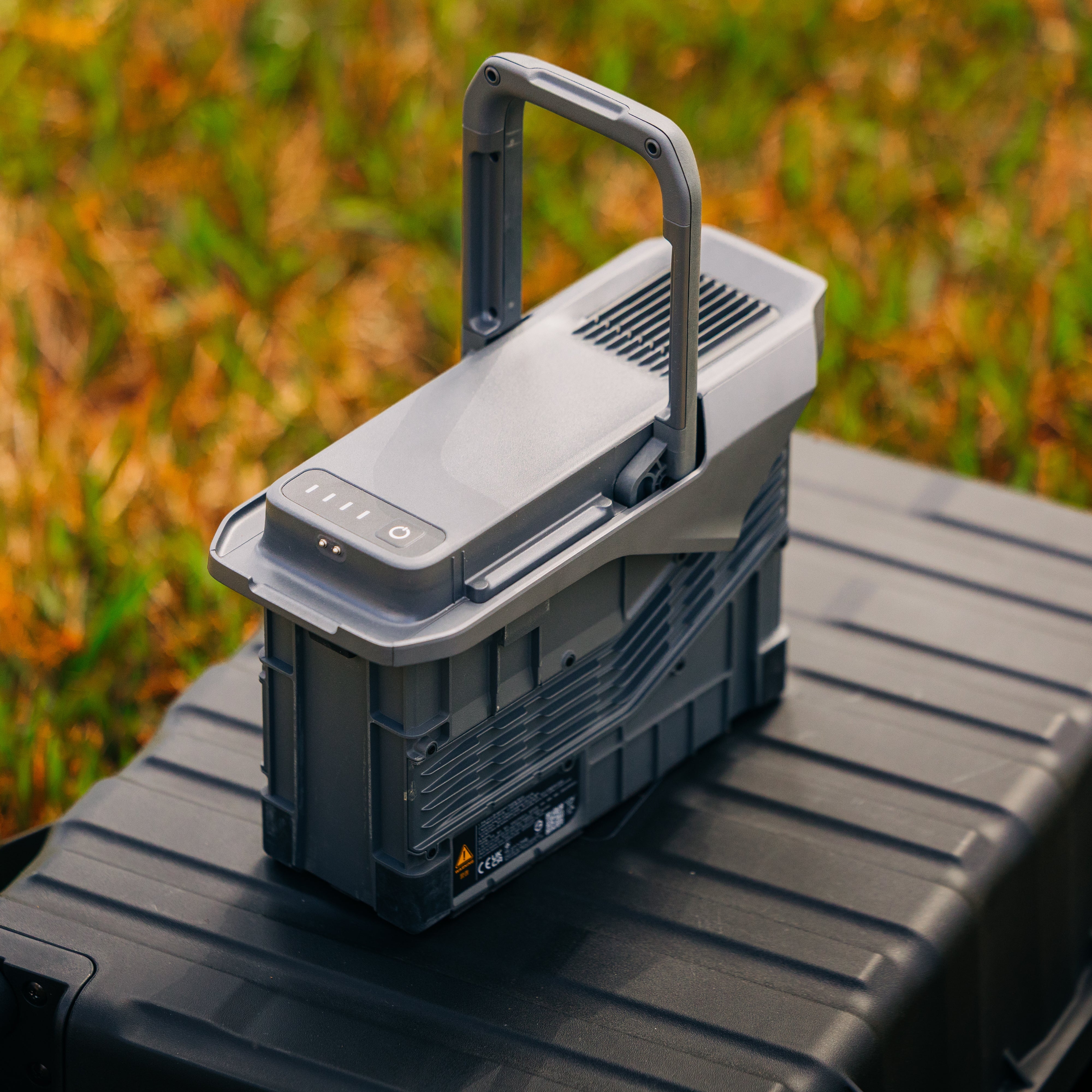
Matrice 400 LiDAR Bundle (M400)
The Matrice 400 LiDAR Bundle is built for high-precision mapping and 3D terrain capture. Equipped with the Zenmuse L3 LiDAR, this system delivers detailed point cloud data, accurate elevation models, and real-world terrain insight you can rely on. Ideal for land analysis, mapping projects, and building a complete understanding of any environment from above.
About
Matrice 400 LiDAR Bundle (M400)
Extended Flight Time,High Speed Performance
Matrice 400's flight capabilities are outstanding, offering up to 59 minutes of forward flight time even with a payload, and up to 53 minutes of hovering duration [6]. These capabilities make it a reliable tool for long-duration and continuous operations such as search and rescue, firefighting, and large-scale mapping. It can also avoid large obstacles [3] like buildings and mountains at flight speeds of up to 25 m/s.
Up to 25m/s Flight Speed
Claimed 59 Mins Forward Flight Time
Multi-Payload, Multi-Scene
Matrice 400’s strong payload capacity allows it to easily meet the demands of a wide range of applications. With a maximum payload capacity of 6 kg[2], Matrice 400 supports seamless switching between a single downward gimbal[8]and a dual downward gimbal[8]. It also features a third gimbal connector on the underside for additional flexibility. The aircraft is equipped with 4 external E-Port V2 ports[7], enabling simultaneous mounting of up to 7 payloads.

Safe and Reliable Flight
Matrice 400 has a protection rating of IP55[9], allowing it to operate reliably in challenging conditions including heavy dust or rain. It also maintains stable performance across temperatures from -20° to 50° C (-4° to 122° F), delivering consistent results in both hot and cold conditions.