





DJI Zenmuse L3 LiDAR Camera (M400)

Sale price$15,499

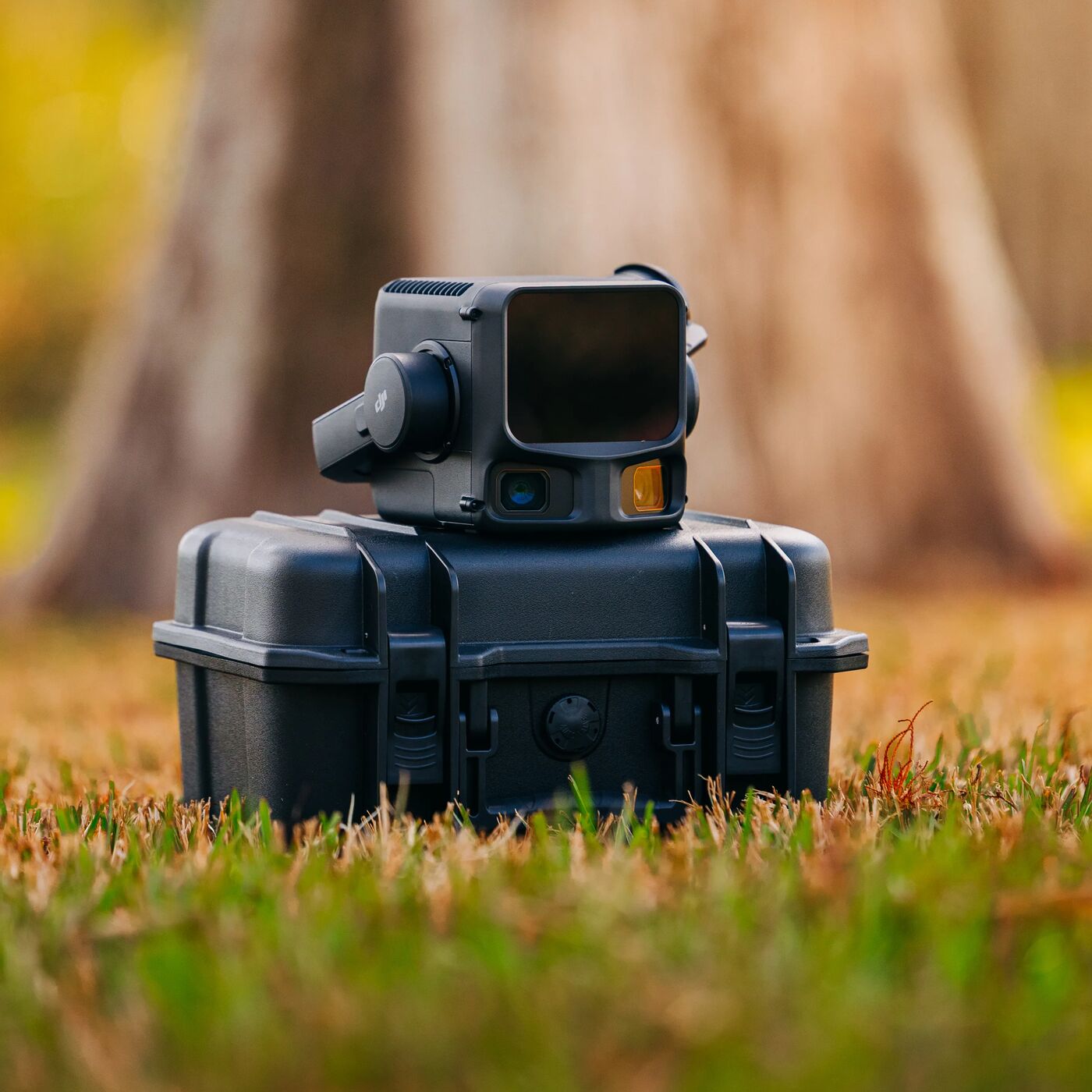
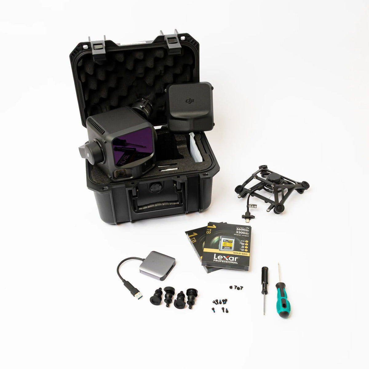
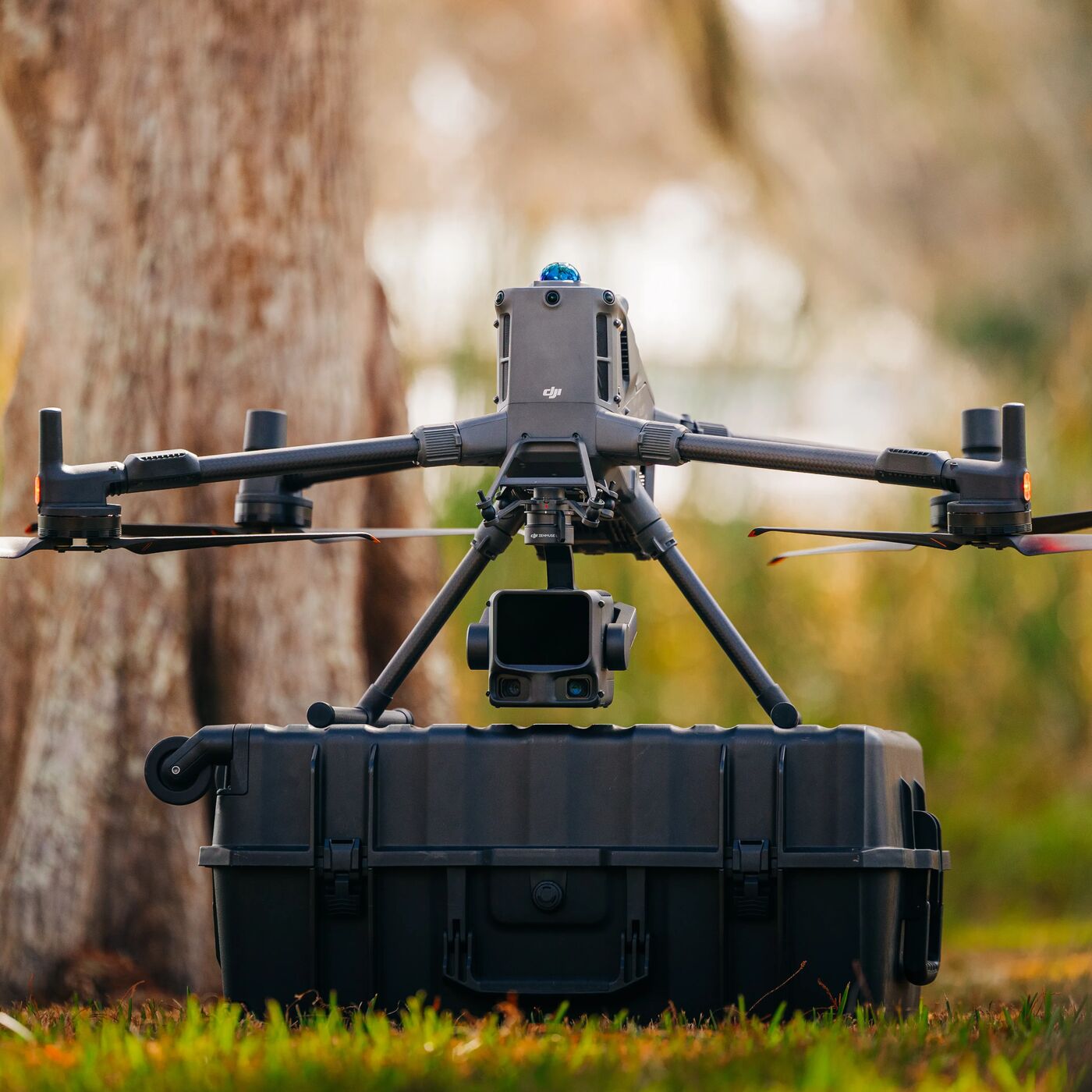
The DJI Zenmuse L3 is DJI’s next-generation aerial LiDAR payload designed for the DJI Matrice 400 platform. Combining long-range LiDAR with dual high-resolution mapping cameras, it can capture highly detailed terrain and vegetation data from the air. For land managers, property owners, and recovery professionals, it provides a powerful tool for understanding terrain, mapping land, and analyzing environments from above.


The DJI Zenmuse L3 is DJI’s next-generation aerial LiDAR payload designed for the DJI Matrice 400 platform. Combining long-range LiDAR with dual high-resolution mapping cameras, it can capture highly detailed terrain and vegetation data from the air. For land managers, property owners, and recovery professionals, it provides a powerful tool for understanding terrain, mapping land, and analyzing environments from above.

See the terrain beneath the canopy

The Zenmuse L3 is built for situations where traditional cameras cannot fully reveal what is happening on the ground. Using long-range LiDAR technology, the system emits laser pulses that measure distance and generate precise three-dimensional maps of the terrain below.

Unlike standard aerial photography, LiDAR can penetrate gaps in vegetation and tree canopy to capture the shape of the land underneath. This allows operators to produce highly detailed terrain models, identify elevation changes, and better understand landscapes that may otherwise be hidden by brush or forest.

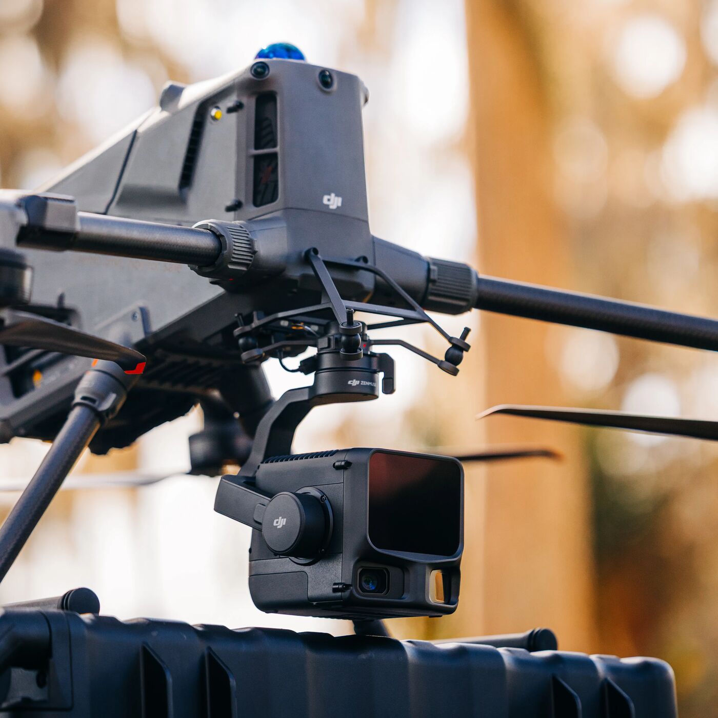
The L3 also integrates dual 100-megapixel mapping cameras alongside the LiDAR system, allowing it to collect visual imagery and spatial measurements simultaneously. Mounted on the Matrice 400, this combination makes it possible to map large areas quickly while maintaining extremely high levels of detail.

Key Features
  • 1535 nm long-range LiDAR sensor for detailed terrain scanning
  • Maximum detection range up to ~950 meters
  • Dual 100MP RGB mapping cameras for high-resolution imagery
  • Up to 2 million laser pulses per second for dense point cloud data
  • Supports multiple LiDAR returns for improved vegetation penetration
  • Generates detailed 3D terrain models, elevation maps, and geospatial data
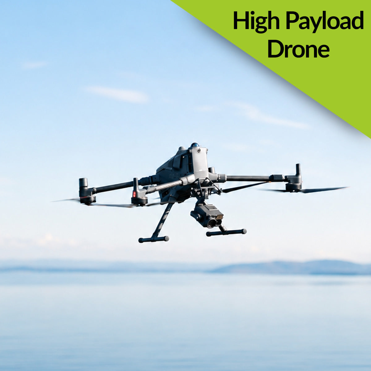
  • Designed for use with the DJI Matrice 400 platform